
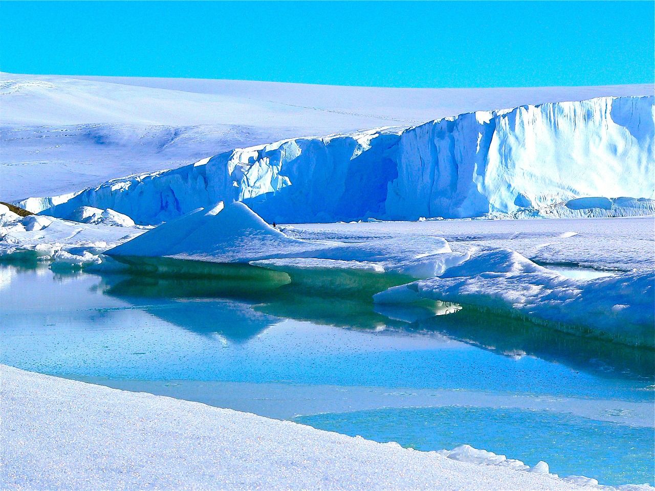
If you ask someone what the weather will be like tomorrow, they will first look out of the window. That is because tomorrow’s weather is highly dependent on today’s weather, despite all the complexities of the moving air masses in the atmosphere. The air moves faster than ice sheets, therefore, it is easy to imagine that the current state of an ice sheet has a strong impact on its future stability for tens to hundreds of years. The instability of ice sheets has an important impact on sea level rise at these timescales.
The main challenge is to collect essential information about an ice sheet behaviour on a continental scale with a reasonable resolution of up to a few hundred metres or so to be able to be useful in understanding its future behaviour. It would be easier if it is not Antarctica, one of the harshest environments on the planet, but it is Antarctica that I am investigating in my project. There are many important processes that are taking place at the base of the Antarctic ice sheets that are kilometres in thickness, such as interaction of solid ground with the ice sheet. Field campaigns are essential to understand these interactions but would not allow spatial resolution on the continental scale that is required. One avenue is to use satellite data but the information gained is limited as the technology is yet to be developed to look beyond the thick ice. In this project, the aim is to use computer model and sophisticated statistical methods using the available observational information from a variety of sources to infer ice sheet interaction and stability. Further, future projections of the contribution of Antarctic ice sheet instability to global mean sea level rise will then be possible to evaluate. The main goal is to quantify uncertainties associated with inferences and projections to inform climate policies on sea level rise.
Like science? Go further with the OU
-
Golden Globe Ocean Race: Antarctic ice cliff instability and sea-level predictions
Read now to access more details of Golden Globe Ocean Race: Antarctic ice cliff instability and sea-level predictionsPhD student Andreas Wernecke explores Antarctic ice cliff instability and sea-level predictions.
-

Explore our postgraduate courses
Learn more to access more details of Explore our postgraduate coursesWe offer a great range of Masters degrees and postgraduate study. Take a look through our A-Z catalogue.
-

Try science courses for free
Learn more to access more details of Try science courses for freeWe have free units covering a range of science subjects for you to try
Rate and Review
Rate this article
Review this article
Log into OpenLearn to leave reviews and join in the conversation.
Article reviews