Acknowledgements
This course was written by Mark Brandon [Tip: hold Ctrl and click a link to open it in a new tab. (Hide tip)] .
Except for third-party materials and otherwise stated in the acknowledgements section, this content is made available under a Creative Commons Attribution-NonCommercial-ShareAlike 4.0 Licence.
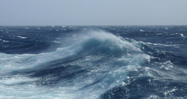
Course image: Joshua Conley in Flickr made available under Creative Commons Attribution-NonCommercial-ShareAlike 2.0 Licence.
The material acknowledged below is Proprietary and used under licence (not subject to Creative Commons Licence). Grateful acknowledgement is made to the following sources for permission to reproduce material in this course:
Figure 8: courtesy of Mark Brandon
Figure 9: http://www.ospo.noaa.gov/
Figure 10(a) and 10(b): from: Tait, R.V. (1968), Elements of Marine Ecology, Butterworth Heinemann
Figure 13 and 14: from Schlitzer, R. (2000) 'Electronic atlas of WOCE hydrographic and tracer data now available', Eos, Transactions American Geophysical Union, vol. 81, no. 5, p. 45
Figure 16: courtesy of Mark Brandon
Figure 18: from Perry, A.H. and Walker, J.M. (1977) The Ocean-Atmosphere System, Longman
Figure 20: adapted from Emery, W.J. and Meinke, J. (1986) 'Global water masses - summary and review', Oceanologica Acta, vol. 9, Copyright © 1986, Elsevier Science
Figure 21: courtesy of Mark Brandon
Figure 22: adapted from: MacDonald et al. (2005) 'Recent climate change in the Arctic', Science of the Total Environment, vol. 342, no. 1-3, 15 April 2005, Elsevier Inc.
Video 1: Using Google Earth to look at the ocean with Mark Brandon : © content: Google Earth/Data SIO, NOAA, U.S. Navy, NGA, GEBCO. https://www.google.co.uk/intl/en_uk/earth/
Video 2: Using Google Earth with a file containing information in layers with Mark Brandon © content: Google Earth/Data SIO, NOAA, U.S. Navy, NGA, GEBCO. https://www.google.co.uk/intl/en_uk/earth/
Video 3: United States National Oceanograph and Atmospheric Administration (NOAA) http://www.noaa.gov/
Video 4: Demonstration on how to use layers with Google Earth with Mark Brandon. © content: Google Earth/Data SIO, NOAA, U.S. Navy, NGA, GEBCO. https://www.google.co.uk/intl/en_uk/earth/
Video 5: extract (including transcript) from BBC Planet Earth Episode 11 'Ocean Deep' © BBC
Video 6: extract (including transcript) from BBC Life in the Freezer, Episode 4 © BBC
Video 7: Mark Brandon for The Open University using data from NASA
Video 8: Mark Brandon for The Open University using data from NASA
Video 9: The international Arctic Research Center University of Alaska Fairbanks
Video 10: NASA/Goddard Space Flight Center Scientific Visualization Studio
Video 11: NASA http://www.nasa.gov/
Video 12: NASA http://www.nasa.gov/
Every effort has been made to contact copyright owners. If any have been inadvertently overlooked, the publishers will be pleased to make the necessary arrangements at the first opportunity.
Don't miss out:
If reading this text has inspired you to learn more, you may be interested in joining the millions of people who discover our free learning resources and qualifications by visiting The Open University - www.open.edu/ openlearn/ free-courses
