
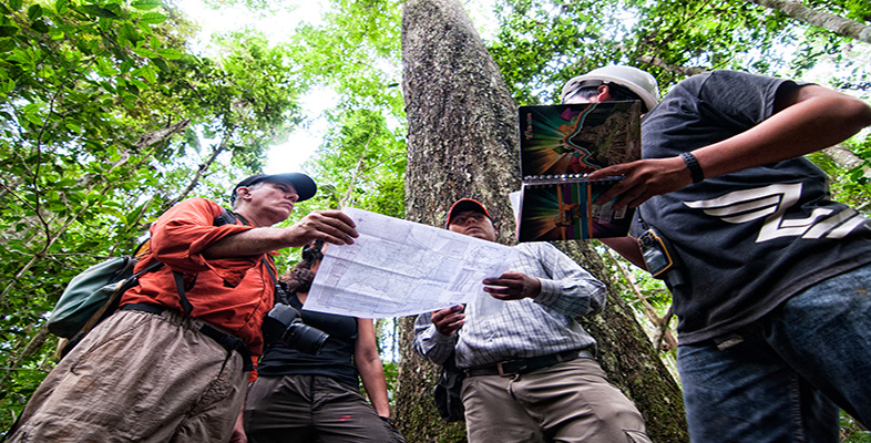
3 Maps as knowledge
3.1 Maps as history
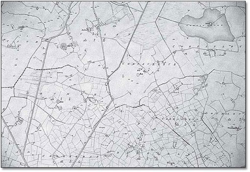
Maps represent knowledge of the time and space within which they are compiled and produced. In this way they form part of the historic record. An old map is a picture, albeit selective, of the past and forms a baseline for studying change. The first edition of the Irish Ordnance Survey (see Map 2 below) provides a picture of the landscape just prior to the Great Famine of the 1840s. What changes do you think might be seen by comparing the first edition with the second, which was produced later on in the nineteenth century? In some places you would find that settlements are greatly reduced in size but in others there seems little change: social scientists will want to ask ‘Why?’ Were the effects of the Famine geographically selective? What other changes were happening over the same period? Such questions will feed back into the circuit of knowledge.
Maps also represent those with the power to establish their view of the world as the accepted view, which can mean subverting alternate views. Indigenous peoples have had their own understandings and maps of their places but this did not stop Europeans from imposing a Western view of the same geographic space. Often this view was of empty territory, implying that it was free for colonization.
One example of how a line on a map actually made history concerns South America. Just after Columbus sailed across the Atlantic Ocean the Pope, asserting the ‘right’ to control non-Christian lands, drew a line to separate the spheres of influence of Spain and Portugal. Spain got the rights to ‘new’ lands to the west of the line and Portugal to the east. Basically this gave America to Spain and Africa to Portugal until, some five years later, the area we now call Brazil was discovered, to the east of the Pope's line, thus giving Portugal a hold in South America. Had the line been drawn differently, history would have been different for people in Brazil. The drawing of international borders in more modern times has had a similar effect in placing people on one ‘side’ or another and thereby affecting their lives. The partitioning of Cyprus or of India and Pakistan are examples.