
3.3 Maps and the modern world
Maps play a fundamental role in the functioning of modern Western societies. They are important as legal documents in both the public and private spheres: your proof of the boundaries of your property as well as the location of international borders. Maps are important in military campaigns, territorial disputes, explorations for mineral resources. Maps may be a source of conflict and competing claims to land and water. In some cases the conflicts are also cross-cultural. Western-style corporations laid claim to territory in Australia which was occupied by Aboriginal peoples who do not recognise that kind of property ownership. Indigenous peoples in Central America (e.g. in Honduras) have challenged logging companies through the legal process. In Northern Canada, the government recently re-established Inuit place names and thereby ‘redrew the map’, representing a major social and cultural development. Maps are also used to show the incidence and spread of pollution or disease, often in relation to international boundaries. You may have seen such maps in newspapers, for example, after Chernobyl, using arrows to indicate the direction of spread of radiation; or maps of the incidence of leukaemia, suggesting that the disease is clustered geographically.
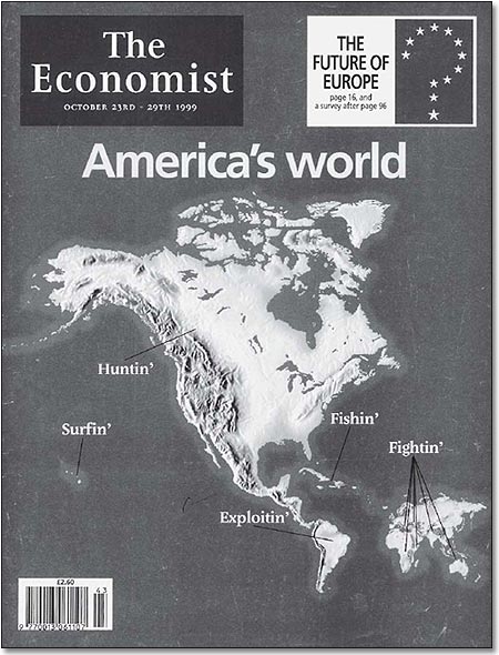
Maps also play a part in political and economic life in the form of cartoons, using humour to make a serious point (see Map 4 below).
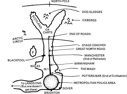
Another example using humour can be seen in Map 5 (below).
In England, the Doncaster and District Development Council published Ye Newe Map of Britain [see Map 5], as a way of drawing attention to the manner in which many Southerners in England misperceive the North. The Council wanted to attract more industry and jobs to the Doncaster area, and realised that many decisions affecting business locations were made in London. The idea was that if people have their legs pulled in this way they will re-examine their spatial biases and make more informed decisions in the future.
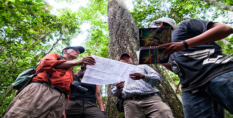
I hope you will look for your own examples of the use of maps in newspapers, books and on television. But I also hope to suggest that maps are interesting sources of information and that maps can be fun. In certain circumstances, maps matter, as in the law and also in the ‘claiming and naming’ of places. Being ‘on’ or ‘off the map’ can literally change your fortunes.