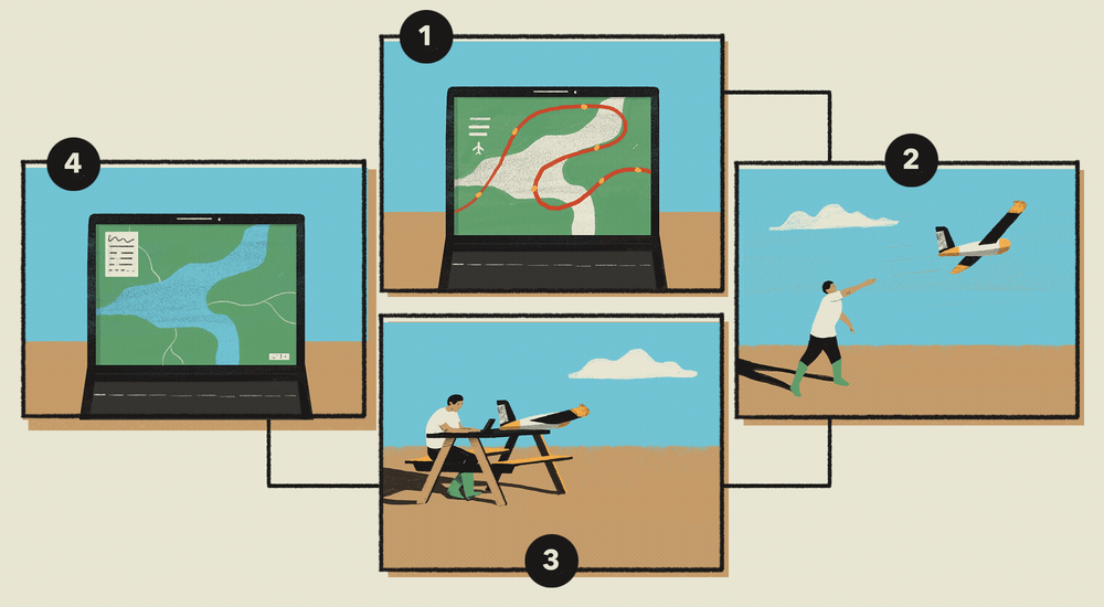
What you can use to collect environmental data
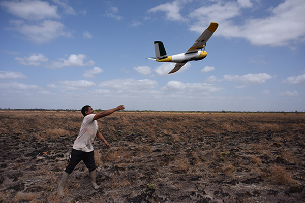
5. Recording through a drone
Understanding environmental changes such as which areas flood or not, or changes in forest cover can be difficult from the ground. Using an aerial drone to collect images from above can give useful information about the spatial extent of environmental changes. The images collected by a drone can be analysed with computer software to create maps. If the same area is flown repeatedly over a period, such as every month for a year, then spatial changes in the environment can be recorded.
Steps to follow:
- Programme a flight plan using a computer of the area you want the drone to fly above
- Launch the drone
- Download the images or data from the drone
- View the results and produce a map