What you can use to collect environmental data
6. Recording through a satellite
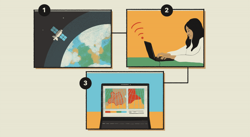
In a similar way to a drone, using satellite images can help you understand spatial environmental changes from above. Satellite images cover very large areas so unlike drones, which typically record 1km by 1km or 2km by 2km each flight, satellite images often provide complete coverage of an area. The only restriction with the use of satellites to detect environmental change is that the images a satellite collects are not constant as it depends on the frequency that the satellite passes over an area. Similarly to drones satellites can be used to produce maps of spatial changes over time.
Steps to follow:
- Download data from a satellite
- Use computer software to analyse the data
- View the results and produce a map