
Part 2: Surveying
6. Trilateration
The technique of trilateration measures three sides of a triangle in order to locate objects. It is really useful if the object you are trying to survey is a long way from a known point, for example the house, but you can locate it from some other points in the garden.
Note that many sources mix up the terms ‘trilateration’ and ‘triangulation’, a simple way to remember it is:
Trilateration = distances
Triangulation = angles
Trilateration process
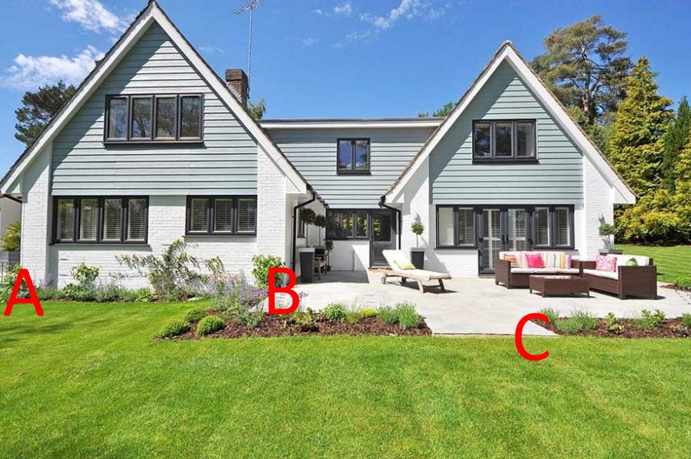
1. Choose two fixed, known, points, for example, two corners of a house (A and B).

2. The object or feature that you want to locate becomes the third point of a triangle (C), in this case the corner of the path.
3. Measure and record the distances in a straight line between each of the three points.
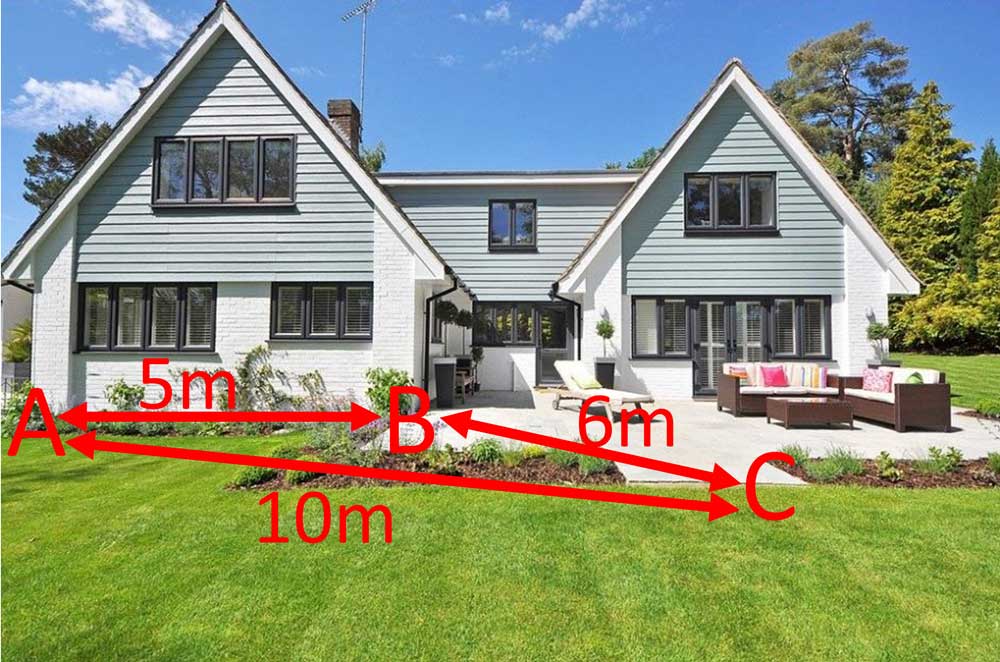
4. On your paper draw the line between A and B to an appropriate scale.

5. Using a set of compasses and a ruler, set the gap between the point of the compass and the pencil to the length of the line A to C (to scale).

6. Draw an arc on the paper, sticking the point of the compasses into point A.

7. Reset your compasses to the length (to scale) between points B and C and draw another arc, this time sticking the point of your compasses into point B. Your arcs will cross at the correct location for point C.
