

5.1 Different data: ‘micro-mapping’
You have seen this week the importance of looking beyond the data to consider what might be hidden or problematic about it. Soteri-Proctor and Alcock (2012) discuss the difficulties in getting data on the voluntary sector – in particular finding out more about below-the-radar groups. You saw earlier how there are many very small voluntary organisations, many of which will not be registered charities and may not get counted in many surveys. Yet as an overall group they are important in the voluntary sector. In their review of below-the-radar groups, Soteri-Proctor and Alcock highlight:
- Many surveys use a legal definition of a charity so the only organisations included will be those who have registered and submitted information.
- With devolved administration in the UK, it is difficult to get comparable data across all four countries.
- The need to move beyond formal records for below-the-radar activity, perhaps using ‘micro-mapping’ (you will find out more about this in the next activity).
- If the data on the voluntary sector does not include all organisations, does this have an impact on government policy affecting voluntary and community organisations?
Micro-mapping refers to measuring all organisational activity within very small areas such as a few streets. This type of approach is helpful if you want to uncover more about geographical differences. You could perhaps compare a few streets in several areas of a town or city, or compare the results of micro-mapping in towns across different regions or countries. Micro-mapping is a
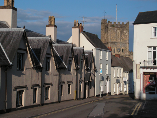
Activity 8 Assessing a street
Read the following description of how micro-mapping has been used in a research project. Then answer the questions that follow.
You might want to read the extract twice to understand it fully.
The purpose of our street-level approach was to provide a micro-map of all organisational activity taking place in two small local areas. The specific commitment was to go beyond the existing records and listings of organisations (the different radars) and seek out activity that might not be listed, that might not have an address or even a name – and that might not see the need for, or want to avoid, membership of or engagement with large national or regional agencies. To do this we chose two distinct neighbourhoods, each located within wider urban conurbations. Tight geographical boundaries were important as it was anticipated that our intensive research would inevitably require access to, and development of, a close knowledge of local people and places […]
- Note down what you think are the key words or phrases – those that tell you what the researchers were aiming to do.
- How do you think you would carry out research on one street in order to find out about voluntary organisations or activity? Perhaps think about a street you know well as a way of guiding your thoughts.
Comment
- The key words or phrases that tell you what the research is about are:
- street-level
- micro-map
- organisational activity
- two small local areas
- seek out activity
- intensive research
- close knowledge of local people and places and activity that might not be listed in existing records.
These words and phrases tell you at what level the research is taking place, how many areas, what the researchers want to focus on and what they might need to know.
- If you’re new to thinking about research you might have found this activity difficult but don’t worry about this. The idea is to get you thinking about how to find out information. Some ideas could include:
- walk up and down the street to see if there are any organisation signs
- observe any activity on the street
- look at noticeboards
- go into the library or local council (if there is one).
Alternatively, you could visit the local ‘umbrella organisation’ – such as a community and voluntary council. As you saw in Activity 6, these are very locally focused and would inevitably know a lot about local small organisations.
The authors of this research used these methods:
- Solo walks – looking at notice boards, shop windows, etc.
- Walking interview – walking with a local knowledgeable person.
- Visiting buildings and open spaces where people might meet – for example, community centres, faith-based buildings, leisure centres, libraries.
- Conversations, emails, interviews with local knowledgeable people.
- Online searches for information.
They highlight that in order to understand very small groups, as well as the nature of the voluntary sector in a small area, then micro-mapping is very useful. If you work or volunteer for an organisation that has a local focus, you might find micro-mapping of particular relevance. You could use the approach to do some research to uncover more about voluntary activity in your area or to do some comparisons with other areas – perhaps linking up with organisations in other areas.