3.8 If it’s buried, how do we find it?
In this section, you’ll learn how geologists find and extract the oil once it’s been stored in a geological reservoir.
How do we know where it is? Geological mapping
Because of the pressure that builds up below oil traps, often all you need to do to find oil is drill a hole in the ground. Once you hit the oil, it’ll come up pretty fast.
Drilling random holes all over the place would be a very inefficient (and expensive) way to find oil. Before we had such a good understanding of the geology of oil fields, they were discovered because of quite obvious seeps of oil coming out of the surface. Most of those easy targets have now been exploited (although some are still found from time to time – the Earth is a big place), so new oil discovery now relies on our understanding of where oil is likely to be, based on our understanding of the geology.
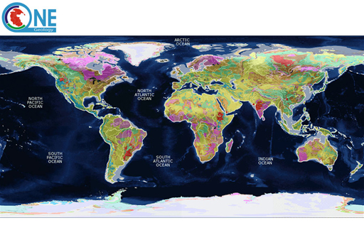
This relies on us having an understanding of the geology beneath our feet. The first step towards this is mapping what rocks are where.
Some of the first geological maps were made not to find oil or resources, but to help with cutting canals through the rocks. William Smith, an English geologist and surveyor, produced the first geological map of an area in 1799, based on his time working as a canal surveyor (the first geological map of a nation had to wait until 1815 for publication). He was able to map the rocks by travelling the country and looking at what rocks were where. Today, with satellite and aerial photography, geological mapping uses different technologies than Smith’s pencil and paper, but geologists still need to get their nose to the rocks to see what they really are.

