Chapter 1 Water resources in Myanmar
1.1 Introduction
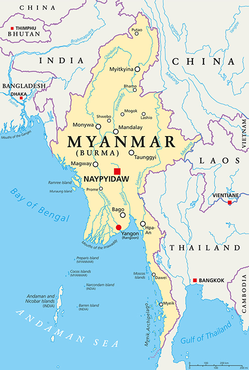
Myanmar is a Southeast Asian country with a total area of 676,590 km2 and a coastline that is 2,400 km long (Aquastat, 2014). The topography of the country is varied. It is hilly and mountainous in the west, north and east, has a semi-arid dry zone in the centre, a long coastline in the west and alluvial plains in the southern delta. The country’s southern coastline lies on the Andaman Sea and to the southwest of the Bay of Bengal.
It is divided into seven states mainly covering the hill regions of Chin, Kachin, Kayah, Kayin, Mon, Rakhine and Shan, and seven regions – covering the plains, Ayeyarwady, Bago, Magway, Mandalay, Sagaing, Tanintharyi and Yangon. It is bordered by Bangladesh to the west, India to the northwest, China to the northeast, and Laos and Thailand to the east.
Myanmar has abundant water resources, with eight major river basins that cover 90% of the country’s territory as well as sizeable lakes. It processes 12% of the whole of Asia’s fresh water resources and 16% of the fresh water of the ASEAN nations (Thang Sein, n.d). But despite this, the growing demand for water use due to population growth, urbanization and industry poses challenges to water security.
This chapter explores Myanmar’s water resources, where they are, their availability and how they are subject to seasonal variability.