

Session 6: Design and implementation
Introduction
So far you have studied the detection, attribution and predictions of climate change and several possible methods of geoengineering to counter it. Now you will consider how to design these methods and put them into practice, not only scientifically but politically.
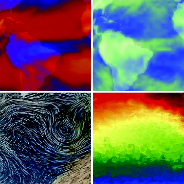
Figure 1 Some excerpts from Earth observations and models that you will explore in this session. Can you tell which are observations and which simulations?
By the end of this session, you should be able to:
- appreciate there is a range of climate models of different complexities for different needs
- explain complex scientific predictions in a concise and accessible form suitable for a policy-maker
- understand a selection of experiments and real-world trials of geoengineering or related activities
- reflect on possible tensions around geoengineering decisions due to competing aims in implementation, governance and law.