This third introductory article provides some ideas about how to get started in using the Hestia project map. There is also a short list of links to websites where you may find images, maps, commentaries and a range of other sources to support and extend your research. Bookmark this article and, as you explore the suggested research activities in the Herodotus OpenLearn Collection, return for guidance on making the most of the available features and project partners’ resources..
Hestia Project and OpenLearn
The Hestia Project presents Herodotus’ ‘The Histories’ as an interactive map-and-narrative timeline mashup. Throughout the activities in the Herodotus OpenLearn Collection, there are links to open relevant sections of the map in a new browser window.
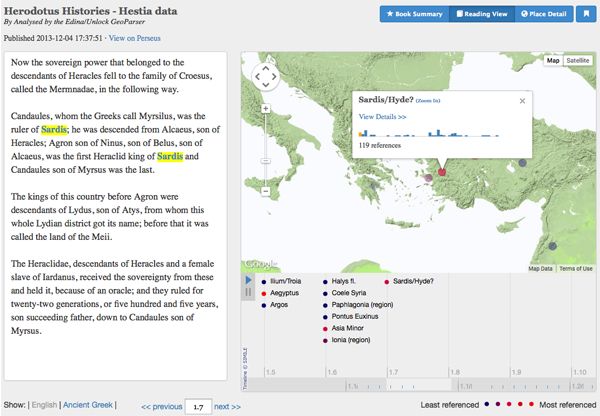 Reading View of the Hestia Project data: text, map and places
The Hestia Project
Read the background to the project and follow the blogs on the Hestia website.
The Hestia map may be viewed in standard Google formats with terrain or satellite views selected and the slider to zoom in or out. Familiarise yourself with these features before starting to read 'The Histories' in detail. The interface includes maps and data visualizations that show what locations are referred to at different points in the narrative, allowing you to dig into the details to learn more. There are three views onto the data and mapping, accessed via the blue tabs at the top right of the screen.
Book Summary
The Summary view gives you a big-picture perspective on what places are referenced in the book and where they appear in the narrative structure. Places mentioned by Herodotus are identified with blue markers for cities and towns such as Delphi and Sardis, or red for larger territories such as Hellas (Greece) and Aegyptus (Egypt).
691 ancient places are referenced by Herodotus and these may be explored by ordering the list of Top Places by ‘Most referenced’ or ‘Alphabetical’.
Reading View
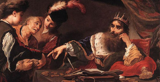
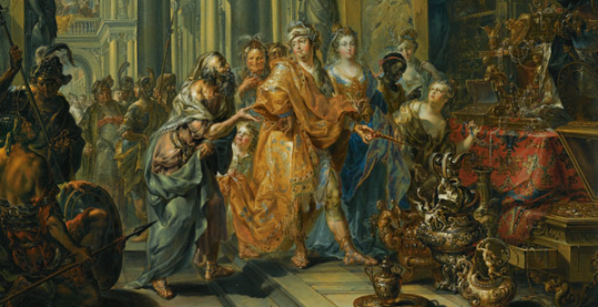
The Reading View offers an interface for reading the text, including a narrative timeline and a map of recently-referenced places. Activities in the OpenLearn Collection and Timeline may link directly to the Reading View such as the story of Croesus, the so-called ‘Lydios logos’.
Explore the chapters via the narrative timeline listing place names beneath the map OR use the <<previous 1.1 next >> links for Book and Chapter at the bottom right of the text pane. Key in the exact Book and Chapter, separated by a point, to find a particular story or reference eg 1.46, Croesus consults the oracle at Delphi.
It is also possible to view the text in Ancient Greek. Toggle between Show: | English | Ancient Greek | at the bottom left of the screen.
Place Detail
The Place Detail view provides deeper information about a particular geographic location, including a network map of related places based on narrative co-references eg Delphi and links out to data held on other project sites. Beside the map, each reference is detailed according to Book and Chapter, with the option to link directly to the text in the Reading View.
Pleiades Project
The Hestia Project draws some data from the Pleiades Project, a gazetteer of ancient places, with pages that provide details of location, name variations, sources, etc.
Select a place, eg Sardis, in the Place Detail view. At the top left, there is a summary of the data held, with a link to each chapter reference and Pleiades Project link: Sardis 119 references | Place page on Pleiades | References in Pelagios
Select the ‘Place page on Pleiades’ link to find the Pleiades page, where there is more detailed information.
Beneath some places on the Hestia map, there are links to a Flickr group, another activity of Pleiades. If you have any photographs of ancient sites, you can contribute too!
Perseus Project
The source text for Hestia, 'The Histories' by Herodotus, is from the Perseus Classical Library, a free online library of ancient Greek and Latin texts. Perseus also provides keyword searching eg a search for ‘Croesus’ brings up 76 results.
The Perseus project also provides texts translated into English from other writers such as Aeschylus, Plutarch, Homer etc. OpenLearn has produced a short video representation of ‘Persians’ by Aeschylus. In this Greek tragedy, staged in Athens just eight years after the end of the Persian Wars, Aeschylus puts the motivations and feelings of the Persians under the microscope, particularly of the defeated king, Xerxes. He enters as the drama nears its end, dressed in rags and a figure of pity. The actual text of the play is available at the Perseus Project.
With thanks to Professor Oliver Taplin for his translation of this play.
More maps
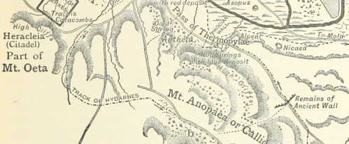
Pelagios provides a location map showing Greco-Roman placenames, roads, rivers and other key landmarks which may be searched. There is a heatmap version, showing the spatial breadth and density of online documents (other texts, images, archaeological data, etc.) that refer to ancient places.
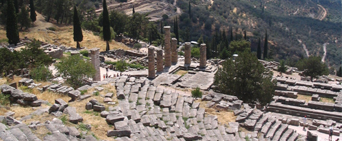
‘Find a place’ provides a Google-style search interface, linked with Pleiades, to provide basic information about places, map location, references and tag cloud eg Delphi.
Open context provides an open source repository of archaeological data, with images of material culture found in the ancient Mediterranean area.
Rate and Review
Rate this activity
Review this activity
Log into OpenLearn to leave reviews and join in the conversation.
Activity reviews