
1.2 Weather observations
There is a lot more to taking useful meteorological data than simply reading a handy thermometer. For a start, the measurement instruments must be 'calibrated' and they should be used in specified ways. Calibration is performed to try to ensure that each meteorological variable is measured in a consistent way at every surface site; this is required because weather observations at many sites are needed to feed into a forecast model and to build up a weather chart. These observations are all made using different instruments, which were built at different times and possibly originate from different manufacturers. If one instrument consistently measures a higher or lower reading than others, then false features will be introduced into the record. A similar concern applies when instruments at the same site are replaced: the new instrument should be calibrated against the old, or at least any differences in calibration should be well understood and documented, for the historical weather record to be reliable. Good scientific practice is essential.
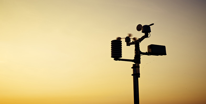
As you can probably imagine, there are manuals and handbooks that set out procedures that must be followed as part of a quality assurance approach to gathering meteorological data. This is to eliminate differences in the way that instruments are sited or are read by observers in different regions. For example, thermometers and other instruments should be sited in a ventilated, white box, placed 1.25 m above the ground with a north-facing door in the Northern Hemisphere. This is known as a 'Stevenson Screen' (named after the civil engineer Thomas Stevenson, father of the famous author Robert Louis Stevenson). Recordings should be made at the same time each day and preferably synchronised with other readings around the world.
For the purpose of synchronising events around the globe, some line of longitude has to be defined as a reference for time zones. For historical reasons this was established as a line of longitude passing through a marker fixed to the ground at Greenwich in London. This line is specified as longitude zero degrees and is sometimes called the Greenwich (or Prime) Meridian. By international agreement, time on the Earth was then set relative to a 'noon' or 'midday' as seen from the Greenwich Meridian. This defined 1200 hours 'Greenwich Mean Time' (GMT). From places lying to the east of Greenwich the Sun will be seen to pass its highest point earlier than 1200 hours GMT, which is why progressively earlier time zones are encountered when travelling eastwards. Conversely, places to the west of Greenwich experience the Sun at its highest at progressively later times with increasing longitude. Coordinated Universal Time (abbreviated as UTC) is a timescale that is nowadays defined by the use of highly precise atomic clocks, but is equivalent to GMT for most practical purposes. UTC is the scale used by meteorologists.
The main internationally accepted times for weather observations are 0000 UTC (i.e. midnight) and at six-hourly intervals thereafter, but data are often also taken at several intermediate times, and hourly at many stations.