
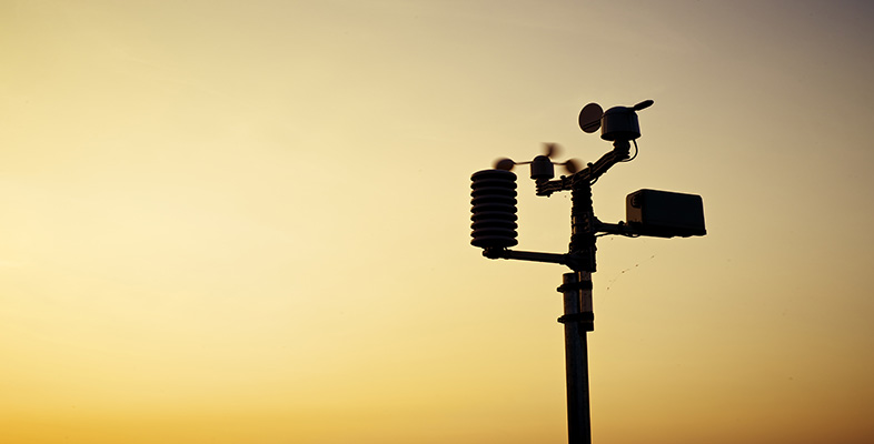
3.3 Aircraft
Just as the oceans are relatively poorly sampled by surface stations, except for some buoys and weather stations mounted on ships, the air above them is even more difficult to access for direct measurements. Radiosonde ascents are normally made from land-based sites and radar techniques have a range of only about 100 km away from the coasts. The advent of satellites has made a huge impact on observations for ocean regions, where weather systems may develop otherwise almost unobserved until they reach land. Not everything, however, can be observed remotely and local, direct measurements are still needed, particularly of winds and other features too small to be sensed easily from orbit.
One valuable source of information derives from commercial air-traffic. Most large aircraft carry some meteorological instruments and report data back to meteorological centres. In fact, it is very much in their interests to do so. There are clear safety issues connected with visibility, pollutants, clouds and precipitation, turbulence and wind gusts. Airlines also have a particular interest in the position and strength of winds in the middle and upper troposphere; they can save enormous amounts of fuel by tailoring long-distance routes to make best use of tail winds and to minimise head winds in the meandering jet streams.
Aircraft reports are naturally concentrated in the main air-traffic lanes, but there are a handful of specialist meteorological research flights around the world. These do not participate in routine weather reports, but can instead be targeted on individual phenomena, such as clouds of a particular type or large storm systems, and used to make detailed observations.
Activity 3 Meteorological instruments (part 3)
Now study the images in the 'Balloons, aircraft and radar' sub-section of the image bank [Tip: hold Ctrl and click a link to open it in a new tab. (Hide tip)] to learn a little more about some of the instruments that are used to gather meteorological data at various levels in the troposphere. Make notes of any aspects of the satellite images that might be relevant to the entries you will make in Table 1.
Question 5
Revisit Table 1 and put a few words in the third row to describe some advantages and disadvantages of radiosondes and aircraft for meteorological observations. Now you have read the whole OpenLearn free course and completed Activities 1-3, you may also see some more comparative advantages and disadvantages of surface stations and satellites. If so, add these to the table.
Answer
The completed table shows some suggested advantages and disadvantages of various meteorological observing systems. You may well have thought of others. You may have used single words or shorter phrases to express ideas.
| Measurement platform | Advantages | Disadvantages |
|---|---|---|
| Surface stations | Cheap to build Easy to maintain Direct measurements with relatively simple instruments | Mainly concentrated in populated regions of land Restricted to near-surface measurements Concern whether measurements at different sites are made consistently |
| Satellites | Global coverage Rapid access to images recorded at the same time but at different frequencies Top-down viewpoint | Indirect, remote measurements Expensive to build, launch and operate Limited weight and power supply for instruments |
| Radiosondes and aircraft | Direct measurements made in the atmosphere Instruments can be manually operated (aircraft) Less restricted in weight and power than satellite instruments | Limited coverage and altitude range Restricted number of launch sites for radiosondes Aircraft limited to commercial routes or a few research flights |