

Image bank
This is Watching the weather's image bank. If you want to return to the unit, please click here.
record 33 of 38
| image title | 5-day sequence of visible images from GOES East |
| image | |
| caption | A sequence of visible images taken from the geostationary satellite GOES East (placed over the east coast of America, longitude 75° W) once every three hours over a period of five days from 0000 UTC on 18 August 2007, the day that Hurricane Dean reached Category 5 status as it crossed the Atlantic and eventually hit the Yucatan peninsula. The images at 0300 UTC, 0600 UTC and 0900 UTC are not included in the satellite archive since the hemisphere was in darkness during this time, but blank images have been added to keep the time interval between images regular at three hours per frame. This illustrates one of the disadvantages of visible imaging. |
| code | MI026 |
| Section | Meteorological instruments |
| Subsection | Satellites |
| image credit | © 2007 EUMETSAT |
| thumbnail | 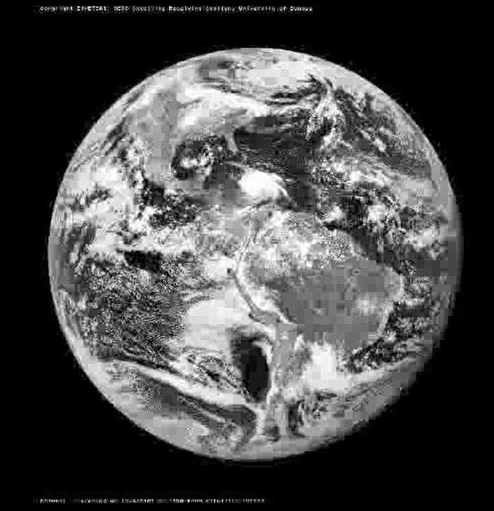 |
| File | 08-GOES12-VIS.flv |