

Image bank
This is Watching the weather's image bank. If you want to return to the unit, please click here.
record 35 of 38
| image title | 5-day sequence of water vapour images from GOES East |
| image |  |
| caption | A sequence of water vapour images taken from the geostationary satellite GOES East (placed over the east coast of America, longitude 75° W) once every three hours over a period of five days from 0000 UTC on 18 August 2007, the day that Hurricane Dean reached Category 5 status as it crossed the Atlantic and eventually hit the Yucatan peninsula. |
| code | MI030 |
| Section | Meteorological instruments |
| Subsection | Satellites |
| image credit | © 2007 EUMETSAT |
| thumbnail | 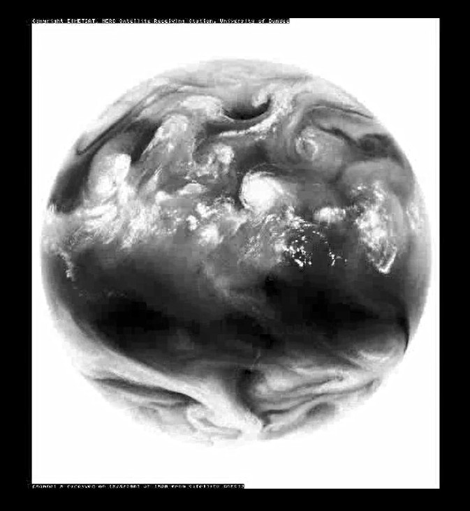 |
| File | 12-GOES12-WV.flv |