Innovating Fisheries Traceability using Satellites and Blockchain
Innovating fisheries traceability has taken a significant leap forward through the integration of satellite technology and blockchain. The Copernicus Marine Service (CMEMS), a key component of the EU’s Space programme, provides critical information derived from satellite and in-situ data to support aquaculture farming and sustainable fishing practices. By utilizing data from Sentinel-3 and Sentinel-6 satellites, such as ocean color imagery, sea surface temperature, and sea level measurements, CMEMS enables precise monitoring of environmental conditions. Additionally, GPS technology plays a vital role in tracing the exact origin of fishing operations, further enhancing the accuracy and reliability of traceability processes in the seafood industry.
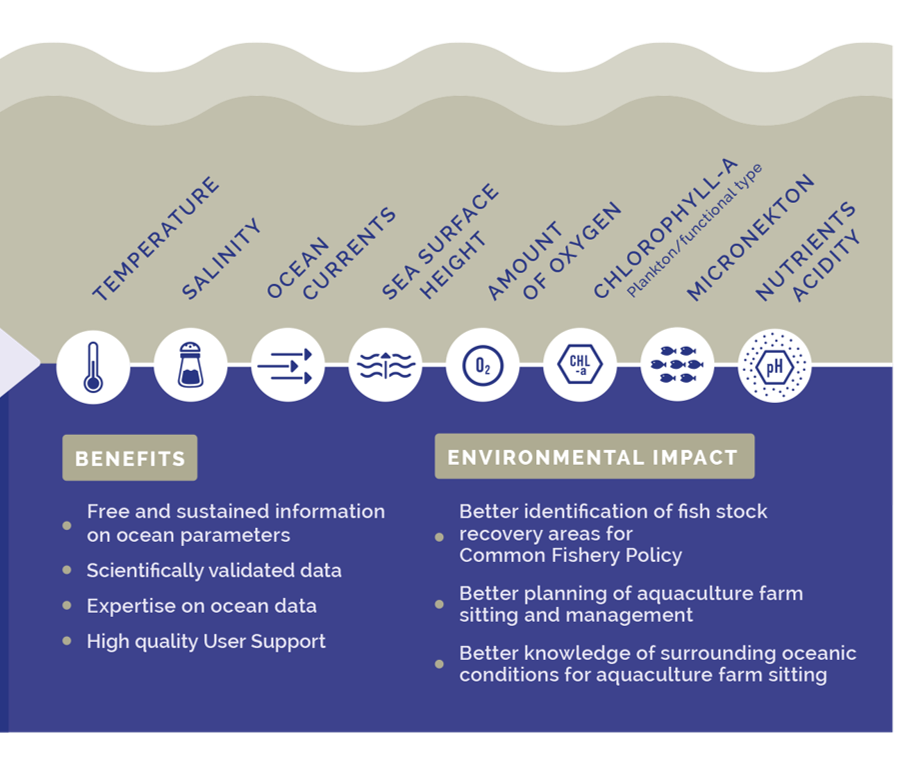
An overview of the Copernicus Marine Service: Temperature, Salinity, Ocean, Currents, Sea, Surface, Height, Amount of Oxygen, Chlorophyll-A; Plankton/functional type, Micronekton, Nutrients, Acidity. BENEFITS: Free and sustained information on ocean parameters. Scientifically validated data. Expertise on ocean data. High quality User Support. And the ENVIRONMENTAL IMPACT: Better identification of fish stock recovery areas for Common Fishery Policy. Better planning of aquaculture farm sitting and management. Better knowledge of surrounding oceanic conditions for aquaculture farm sitting
The Food and Agriculture Organization (FAO) actively champions the adoption of blockchain technology in seafood value chains to strengthen traceability, combat fraud, and increase transparency. Through guidelines, capacity-building initiatives, and real-world case studies, the FAO demonstrates how blockchain can support sustainability goals, improve monitoring, and verify the authenticity of seafood products. This technology not only enhances the reliability of seafood systems but also fosters safer and more trustworthy supply chains globally, aligning with broader efforts to promote responsible and sustainable fishing practices.
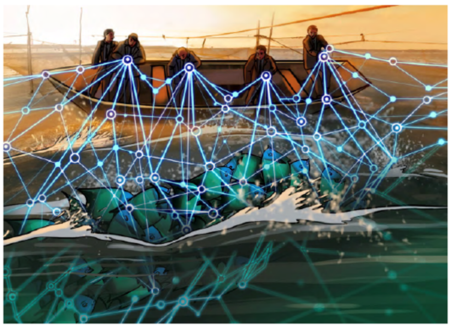
A drawn image of fishermen pulling fish into their boat with a net, while the net has an overlay of digital web-like structures
The "Space2Sea – S2S" project, developed under the Regional Smart Specialisation Strategy (RIS3) of the Lazio Region, exemplifies how satellite technologies can be harnessed to protect coastal and marine resources. By integrating Earth Observation (EO) data, drone acquisitions, environmental measurements, and meteorological-marine data, the project aims to create a technological platform for coastal monitoring services. These services support the enhancement and protection of marine and dune areas while leveraging advanced technologies such as AI, machine learning, big data, and IoT. The project aligns with key development trajectories in the aerospace sector, including the creation of interoperable data platforms, real-time risk management tools, and next-generation services for environmental control, agriculture, and emergency response, ultimately contributing to more informed and sustainable territorial management.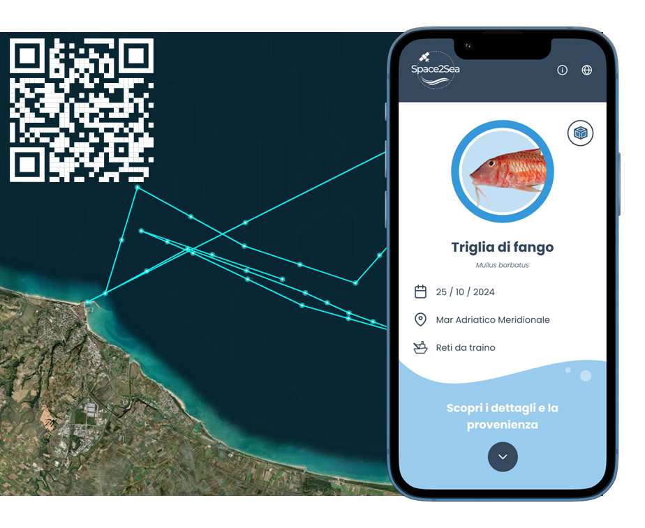 The Space2Sea consumer interface for seafood traceability – Funded by Lazio region – “Smart Specialisation Strategy” (RIS3)